It Was Flat Until Ellenville
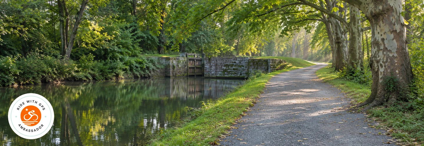
Rail trails carry you from Walden through New Paltz, over the Rosendale Trestle, and into Kingston. Then the O&W takes you to Ellenville, where NY 52 presents the bill for all those easy miles. The Shawangunk ridge follows with big views and rough carriage roads.
Route stats
- Distance
- 96.7 miles
- Start area
- Walden, NY
- Route type
- Loop
- Surface
- Mixed surfaces
- Unpaved
- 56%
- Terrain
- Rolling, with a sustained climb and rough carriage roads
- Difficulty
- Hard
- Climbing
- 5,077 ft
- Descending
- 5,072 ft
- Lowest elevation
- 13 ft
- Highest elevation
- 2,284 ft
Route data from Ride with GPS. Surface percentages and elevations are estimates.
Route map
Open the map and cue sheet in Ride with GPS
Where to start
Start in Walden at the south end of the Walden–Wallkill Rail Trail. Use the map for the exact start point. Ride the rail trail north, then follow the road connectors to the Wallkill Valley Rail Trail. The loop returns to Walden on the same opening stretch.
Where to stop
New Paltz is an early breakfast or bottle-refill stop around mile 13. Pause at the Rosendale Trestle for a view over the valley, then restock in Ellenville around mile 62 before the sustained climb. The cue sheet marks the NY 52 lookout and the approach to Sam’s Point. Check current access and posted cycling signs before riding onto the rough carriage roads beyond the overlook.
Pack a trail lunch
Try my Trailside Italian Antipasto Bowl for an easy lunch on this long loop. Pack the shelf-stable portions unopened, then drain the olives and marinated vegetables and toss everything together at your stop. For more lunch ideas, browse all recipes on Tony’s Trail Kitchen.